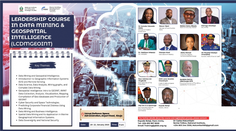
LEADERSHIP COURSE IN SATELLITE DATA MINING AND GEOSPATIAL INTELLIGENCE 2
The National Institute for Policy and Strategic Studies (NIPSS) and the Peace Building Development Consult (PBDC) are pleased to present to your attention this very important 3-Day leadership course in Data Mining and Geospatial Intelligence. The significance of the subject matter of this course must not be underemphasized, in view of the following critical considerations:
1. The need to rethink approaches to security and economic growth:
Rising geopolitical tensions, active military conflicts, food insecurity and new digital innovations are requiring governments and the international community to rethink their approach to security and economic growth. As societies become increasingly sophisticated with a deluge of information, there is also the growing passion among governments and business owners to evolve strategies to make proper use of the extensive information available through data mining and geospatial intelligence.
It is a fact that for nations to effectively respond to the challenges of security, food, agriculture, education, housing, infrastructure, commerce, medical care, etc., there is the need to own a good grasp of data mining. For instance, by engaging software to identify patterns in large swathes of data, traders can geo locate natural resources, available raw materials, understand customer behaviour and further tailor marketing strategies to either increase sales or decrease costs.
It goes without saying that data mining thrives on effective data collection, warehousing, and processing. Data mining is the computational process for discovering valuable knowledge from data. It has enormous application in numerous fields, including science, engineering, healthcare, business, and medicine. Typical datasets in these fields are large and complex. Extracting knowledge from these datasets requires the use of sophisticated, high-performance, and principled analysis techniques and algorithms, which are based on sound theoretical and statistical foundations.
2. Geospatial intelligence and data mining:
Geospatial intelligence (GEOINT) on the other hand is intricately linked to data mining, largely because just like data mining, it dwells on processing information for effective application by individuals, intelligence agencies, and government agencies from specific geographical spaces. Given the widespread security challenges, environmental threats, deficit in infrastructure, and uncertain economic climate, geospatial intelligence can be highly instrumental in raking in massive data for government and business owners to make informed decisions for the benefit of the citizens. Geospatial Intelligence is essential in all dimensions and domains, It provides decision advantage at the point and time of need in today’s rapidly evolving technological and geopolitical landscape. From space to the deep sea, from cyberspace to urban environments, GEOINT is at the forefront of understanding and shaping our world.


